Field PROTOCOLS v1.2
The analysis of initial submissions is underway. Please reach out with any questions.
HiLDEN Protocols_ Summer 2019v1.2
HiLDEN-metadata-2019 (Excel – please submit this version filled in digitally)
Assmann et al 2018 – Guide for UAV best practices for HiLDEN data collection

Legacy protocols
Links for 2018 growing season
HiLDEN Protocols Summer 2018 v.1
Drone Data Collection Philosophies and Best Practices
Data Upload Server
email: jeffrey.t.kerby (at) dartmouth (dot) edu for access/instructions.
Flight log sheets available below from 2017
New for 2018:
Three different tiers of ‘opt in’ data collection this summer – all contributing to synthesis manuscript(s).
Level 1 – High resolution tundra surface mapping (1+ days of field time)
Level 2 – Multispectral land surface mapping(3+ days of field time)
Level 3 – Combining intensive drone monitoring (RGB or multispectral) with landscape-scale experiments and/or long term monitoring(longer term projects)
Background: 2018 update
With greater complexity being identified in tundra greening patterns and trends observed by satellites, the HiLDEN network was established to characterize landcover, conduct satellite validation and to test emerging scaling questions in landscape ecology in high latitude ecosystems.
The HiLDEN Network collected data at 10 high-latitude sites in North America, Greenland, Svalbard, Fennoscandia and Siberia in 2017. We have presented preliminary data analyses at the 2017 ArcticNet and ITEX Meetings and are in the process of drafting a manuscript to share with the group in fall of 2018.

For the summer of 2018, we hope to build on the data collection from 2017 with the following protocols and to expand the temporal and spatial coverage of our data collection.
In our initial analyses, we will use the HiLDEN protocol data to test the following research questions:
- Do tundra greenness trends vary with site topography among tundra locations?
- Does landscape-level heterogeneity in environment (soil moisture, temperature, radiation) correspond with heterogeneity in tundra greenness (vegetation indices – NDVI, GCC, etc.)?
- Are relationships with topography/environment and tundra greenness linear across data presented at different spatial grains? (Probably not…and we can show why!)
By collecting data over two years at some sites and adding additional site into this data collection, we will be able to more rigorously test these research questions contributing to our first manuscripts and potential funding for future activities of the network.
For more details on protocols for 2018, please click the HilDEN Protocols Summer 2018 Link above.
Questions/comments? Contact Jeff Kerby or Isla Meyers-Smith
Full 2017 protocols and data sheet links:
HiLDEN-Protocol-25Jun2017.pdf
Flight Log Sheet 13 June 2017.xlsx
Flight Log Sheet 13 June 2017.pdf
Site Master Log 13 June 2017.xlsx
Site Master Log 13 June 2017.pdf
Background and Motivation
The distribution, abundance, and phenology of arctic flora are influenced by environmental factors operating at multiple spatial and temporal scales. This drives patterns of vegetation heterogeneity that in turn impact processes across all levels of ecological organization, yet individual-level vegetation heterogeneity is poorly quantified in Arctic systems beyond the plot scale. This data gap presents a challenge to both understanding and predicting ecological responses to rapid regional warming. Furthermore, quantifying how the distribution, abundance, and phenology of individual plants varies across landscape extents (hundreds to thousands of meters) is critical to ultimately linking plot-based research with the broader-scale signals of vegetation change captured by satellites.
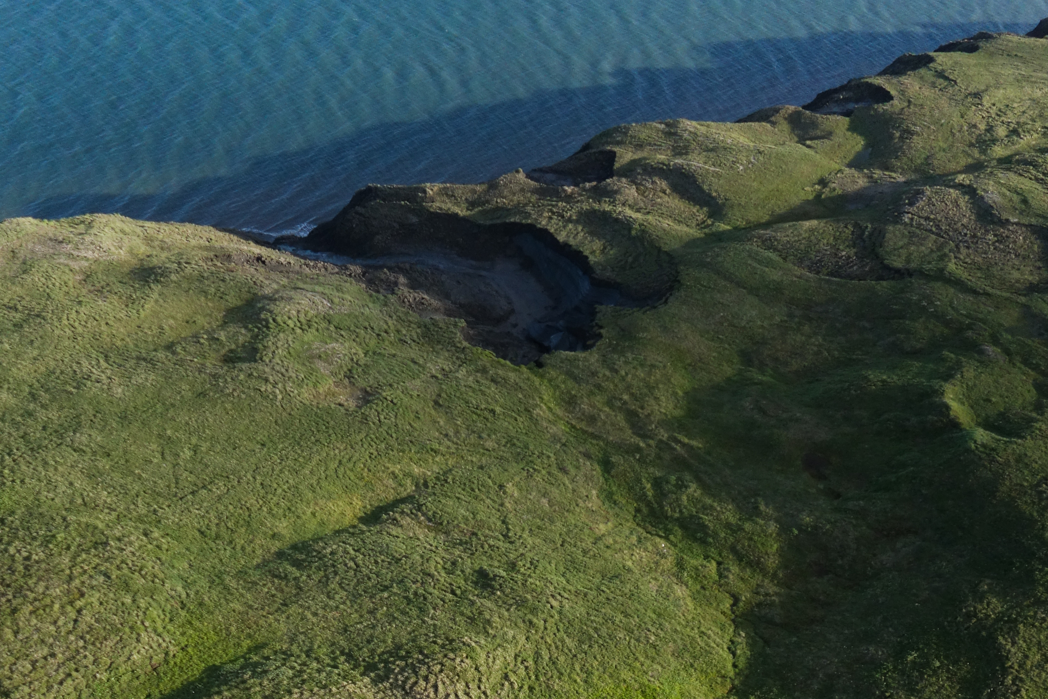
Carefully planned image acquisition from Unmanned Aerial Systems (UAS, i.e. drones) captures spatially continuous, individual-level information about plant productivity and its context in the environment via both structural and spectral models. These data are relevant to many ecological research programs, but will hold greatest value to long-term records, cross-site syntheses, and comparisons with satellite records if they are gathered with consistent methods and philosophies.
For the 2017 High Latitude Drone Ecology Network (HiLDEN) data collection season, we propose implementing common UAS tundra mapping protocols with the immediate aim of producing data and insights for a concepts and synthesis paper (details below) and to act as a stimulus for funding applications. These protocols are designed to apply across a variety of platforms and sensors (and are thus not optimized for any one particular set up) with a specific focus on cross-site comparisons. To participate, contributors will be asked to follow the guidelines below to collect and contribute high-quality, spatially referenced aerial photos of tundra landscapes captured during the peak of the 2017 growing season. These images will be centrally hosted, processed, and analyzed with inputs from data contributors to address the following cross-site questions:
1) How does the relationship between landscape structure (microtopography/hydrology) and plant distribution/productivity predictably vary at sites across the arctic?
2) What is generalizable in how these relationships scale as a function of increasing spatial grain?
3) Do plant distribution/productivity patterns across scales correspond with satellite records among sites?
