GI6.3 Facilitating remote sensing applications across the terrestrial Arctic Co-organized by BG3/CR7 Convener: Annett Bartsch | Co-conveners: Jeffrey KerbyECS, Gonçalo Vieira
https://meetingorganizer.copernicus.org/EGU21/session/41078
Environmental changes in terrestrial ecosystems and coastal areas across the Arctic can only be fully addressed by using remote sensing observations and modelling. However, due to the multiscale complexity of the landscape, to limitations related to illumination and atmospheric conditions, bridging the gap between field and satellite observations remains a major challenge. Contributions may include, but not limited to, recent advances in instrumentation and methodology for
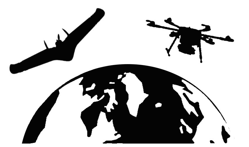
validation and calibration of remote sensing products, applications of joint use of in situ and satellite records to tackle science questions, demonstrate the utility of UAV for bridging the scale gap, progress for standardization (protocols) or reviewing challenges.
We specifically welcome contributions within the framework of T-MOSAiC. T-MOSAiC is an IASC pan-Arctic, land-based program. The objective of T-MOSAiC is to coordinate activities that will both aid and benefit from MOSAiC (especially the modelling components) by extending the work to the lands surrounding the Arctic Ocean and to the northern communities who live on those lands.
The Remote Sensing Action Group of T-MOSAiC
(https://www.t-mosaic.com/remote.html) aims at shortening the path between field scientists and the remote sensing community, by increasing the availability of calibration and validation data at the circumpolar scale. The action group makes use of UAV and satellite data collected with different sensors and to improve the data and models that address issues such as: permafrost characteristics, thaw lake dynamics, coastal erosion, vegetation community dynamics and infrastructure.
